

Foss á Síðu: Complete Travel Guide to Iceland's Wind-Blown Waterfall
Foss á Síðu is a tall, narrow waterfall beside Iceland's Ring Road, about 10 km east of Kirkjubæjarklaustur in South Iceland. It falls from the edge of old palagonite sea cliffs above a historic farm and is famous for one unusual trick: in strong winds, the falling water gets blown sideways or straight back over the cliff.
Here's everything you need to know to make the most of the stop.
Key Takeaways
- Foss á Síðu is a tall, narrow waterfall beside the Ring Road, about 10 km east of Kirkjubæjarklaustur.
- The wind is the most interesting part. On windy days, the water can blow sideways or even back over the cliff.
- It’s a quick stop. Most people spend 10 to 20 minutes here, or around an hour if they also visit Dverghamrar.
- There isn’t much set up for visitors. Parking is limited, there are no toilets or cafés, and the land below the waterfall is private.
- It’s easy to add to a South Coast drive. Dverghamrar, Fjaðrárgljúfur, Skaftafell, and Jökulsárlón all fit well on the same route.
Quick Facts
Here's a quick rundown of the basics before we get into the details.
- Full name: Foss á Síðu (also written Foss a Sidu without Icelandic characters)
- Meaning: "Waterfall at Síða"
- Pronunciation: roughly Foss ow SEE-thoo
- Region: South Iceland, Skaftárhreppur municipality
- District: Síða
- Road: Route 1 (Ring Road)
- Coordinates: 63°51′14″N, 17°52′16″W
- Water source: Lake Þórutjörn, via the stream Þórutjarnarlækur
- Cliff type: Former sea cliffs made of palagonite
- Distance from Kirkjubæjarklaustur: ~10 km east
- Distance from Reykjavík: ~260 km via Route 1
- Distance from Vík: ~80 km east
- Admission: Free
- Typical visit: 10 to 20 minutes for the viewpoint; 45 to 60 minutes if you add Dverghamrar
- Nearest services: Kirkjubæjarklaustur (food, fuel, accommodation)
- Part of: Katla UNESCO Global Geopark
One thing to know before you go: older travel blogs often mention a trail leading directly to the base of the waterfall across the farm. A locally updated source from January 2026 says the farmers closed that route because too many visitors were walking across their land. Use the roadside viewpoint and follow whatever signs you see when you arrive.

Why Visit Foss á Síðu?
Foss á Síðu isn't the biggest waterfall in Iceland. It won't blow you away with raw power the way Skógafoss or Gullfoss does. But that's kind of the point. What makes it worth stopping for is the whole picture: a thin white stream falling down dark volcanic cliffs, a historic farm sitting right below it, and a wind trick that makes the water look like it's flowing upward.
The "Reverse Waterfall" Effect
This is what most people come to see, and it's genuinely cool when it happens. The stream that feeds Foss á Síðu comes from Lake Þórutjörn on the plateau above, and it's not a huge volume of water. When South Iceland's wind picks up, the gusts can catch that thin cascade mid-air and push it sideways, or send it drifting back up over the cliff edge.
The water isn't actually flowing uphill. The wind just has more force than the falling water does. But it looks wild. I'd treat it as a bonus rather than something you can count on, since it depends entirely on conditions that day.
The Geology and History
The cliff behind the waterfall is made of palagonite, not the neat columnar basalt you'll see nearby at Dverghamrar. Palagonite forms when volcanic material reacts with water or ice, and it weathers in a messier, more organic way. That's why the cliff looks sculpted and uneven, full of rounded hollows, mossy shelves, and deep grooves rather than clean geometric columns.
The farm below is genuinely old. It's been here since Iceland's Settlement Age, and local histories link it to the medieval Landnámabók, the Book of Settlements. The long-term appeal of the spot makes sense: fresh water from Þórutjarnarlækur, good grazing land, and shelter from the cliff above.
How to Get There and Where to Stop
Getting here is easy. You don't need a 4x4, you don't need to book anything, and there's no detour involved. It's right on Route 1.
Driving Directions
From different points along the Ring Road:
- From Kirkjubæjarklaustur: head east on Route 1 for about 10 km. The waterfall will appear on your left, on the north side of the road, above the farm buildings.
- From Vík: drive east along Route 1 for roughly 80 km through Mýrdalssandur.
- From Reykjavík: you're looking at about 260 km along Route 1, though most people break that up with stops at places like Seljalandsfoss, Skógafoss, Reynisfjara, and Vík.
- From Skaftafell or Jökulsárlón: head west on Route 1 toward Kirkjubæjarklaustur.
If I were you, I'd look it up on your maps app before leaving Kirkjubæjarklaustur. The waterfall comes up fast and it's easy to miss if you're not watching for it.

Parking and Road Safety
This is where a lot of visitors get it wrong. There's no big parking lot here. It's a working farm beside a main road, and the stopping area is small. Dverghamrar, just east of the waterfall, has a small car park near Route 1 that many people use as a base for both stops.
A few things to keep in mind:
- Don't slow down or stop in the traffic lane when you spot the waterfall
- Don't pull into the farmyard or block access roads
- Don't park on soft grass verges where you might get stuck or block traffic
- Keep kids well back from the road, especially in wind
If there's no safe place to pull over, just keep driving. You can always turn around farther ahead. No viewpoint is worth a dangerous stop on a busy road.
Best Time to Visit
The waterfall looks different depending on when you go. Here's what to expect across the seasons.
Summer (June to August)
Summer is the easiest time to visit. The fields are green, there's daylight basically around the clock in June, and the cliff and waterfall stand out clearly against the surrounding landscape. One thing to know: a dry stretch in summer can leave the waterfall looking pretty thin. After a few days of rain, it fills out nicely.
Spring (April to May)
Snowmelt from the plateau above can push more water over the edge, so the waterfall can actually look fuller in spring than in midsummer. You might also catch patches of snow on the upper heath near Þórutjörn, which makes for an interesting composition. Ground conditions can be muddy and wind is common.
Autumn (September to October)
Personally, I think autumn is an underrated time for this stop. The vegetation around the farm turns brown and gold, the light sits lower and warmer, and there are fewer cars on the road. Rain is more frequent in autumn, which tends to improve the water flow and increases the chances of seeing that sideways spray effect. Daylight drops off fast though, so plan your timing carefully.
Winter (November to March)
Winter changes the whole look of the place. Ice builds up on the cliff face, the cascade may partially freeze, and the scene looks completely different from what you'd see in summer. One local source mentions the waterfall has been lit up at night during winter, though you shouldn't count on that being a regular thing. Check locally before making plans around it.
The risks are real. The pull-off area can be icy, daylight is short, and wind near the cliff can be strong. Winter road conditions can show up in spring and autumn too, not just the core winter months.

Things to Do
There's more to do here than just glance out the window and drive on. That said, this is a short stop and it's best treated as one.
View and Photograph the Waterfall
Start at the roadside viewpoint near the farm. From here you can see the full cliff, the cascade, the farm buildings, and the open South Iceland landscape all at once. Take a few minutes to actually look at it before you start taking photos. The waterfall looks different depending on water level, wind, and light, and it's worth taking that in before you chase compositions.
Watch for the Reverse-Waterfall Effect
If there's wind, watch the falling water carefully. You'll often see it start to drift sideways as gusts hit the cliff face. In stronger wind, the stream breaks apart into spray or gets pushed back over the edge. It's most obvious when there's decent water flow but not so much that the wind can't redirect it. A bit of patience here really pays off.
Explore Permitted Areas and the View Toward Þórutjörn
If signs at the site show a route is open, the walk up toward Þórutjörn gives you wide views across the Síða district and lets you see the upper plateau that feeds the waterfall. Don't rely on older blog posts for this one. Follow what's actually marked when you arrive.
Look at the Farm Landscape and Cliff Geology
The palagonite cliff is worth a closer look if you're into geology at all. The weathered rock has a completely different texture than the basalt columns at Dverghamrar just down the road. Once you see both in the same visit, the contrast makes the South Iceland volcanic story click in a way that just reading about it doesn't.
Combine With Dverghamrar
I'd recommend combining these two stops into one visit. Dverghamrar is immediately east of Foss á Síðu, less than a kilometer away, and it adds columnar basalt, a short walking path through a protected natural monument, and a framed view of the waterfall between the rock formations. Together, the two stops take 45 to 60 minutes and feel much more complete than either one alone.

Photography Guide
Foss á Síðu is more photogenic than it sounds. The mix of farm, cliff, water, and wind gives you a lot to work with, and the nearby Dverghamrar adds a completely different foreground to your shots.
Best Viewpoints
There are a few solid spots to shoot from, depending on what you're going for:
- The roadside viewpoint near the farm: the standard wide shot showing the full cliff and waterfall in context with the farm and surrounding landscape
- From across Route 1: stepping back to the other side of the road lets you take in the full Síða cliff line with the waterfall as one part of a bigger scene
- From Dverghamrar: the best option if you want something original. Framing the waterfall between the basalt formations gives you a shot you simply can't get anywhere else on this stretch of Route 1
Drone Photography
Don't assume drones are fine here. The waterfall sits above private farmland, and Dverghamrar is a protected natural monument where the Icelandic Environment Agency has confirmed that drone operations require specific permission. On top of that, wind near the cliff can be strong and turbulent enough to make flying genuinely risky.

Nearby Attractions and Hidden Gems
Foss á Síðu sits on one of the most interesting stretches of the South Iceland Ring Road. Here's what's worth your time in the area.
Dverghamrar
Go here. It's less than a kilometre east of Foss á Síðu and it makes the whole stop much better. The basalt columns are unusually thick, with some close to a metre across, and the site has been protected as a natural monument since 1987. Stay on the marked paths and don't climb the formations.
The name means "Dwarf Cliffs," and local legend says dwarfs or hidden beings lived inside the rock. One version of the story describes a girl hearing singing coming from inside the columns, which she interpreted as supernatural beings holding a service. Good local colour to know while you're walking around.

Kirkjubæjarklaustur
About 10 km west, this is the nearest village with real services. Fuel, food, and accommodation are all available here. The name comes from a convent founded here in the 12th century, and there are a few small things worth seeing in and around the village.

Systrafoss and Systravatn
A waterfall and lake above Kirkjubæjarklaustur, tied to the area's convent history. The flow can be modest during dry conditions, but the short walk above the village is easy and gives good elevated views over the surrounding landscape.


Kirkjugólf
A protected patch of exposed basalt column tops near the village that looks like someone laid a tile floor. It makes a lot more sense after you've seen Dverghamrar, since both show you what happens when lava cools and contracts into columns.

Fjaðrárgljúfur
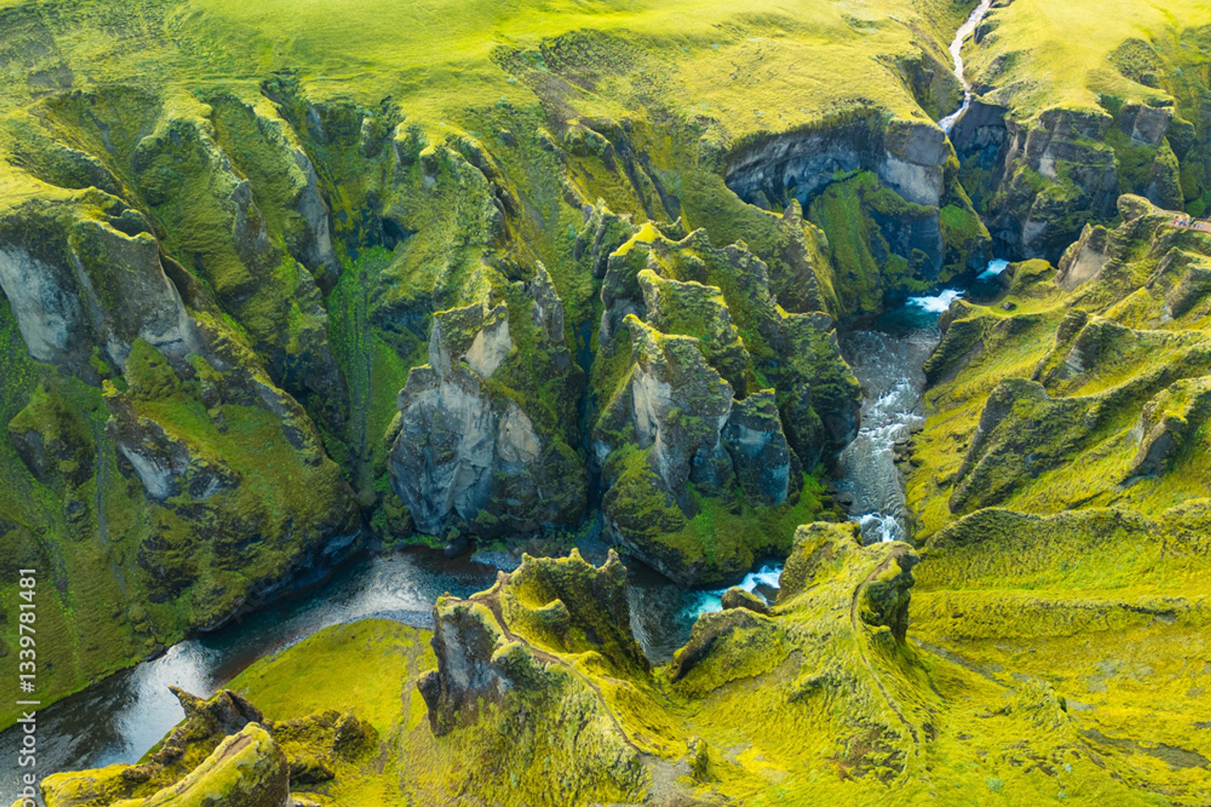
A deep, winding canyon west of Kirkjubæjarklaustur. Budget at least an hour here and treat it as a separate main stop rather than a quick add-on. It sees a lot of visitors, so stick to marked paths.
Eldhraun
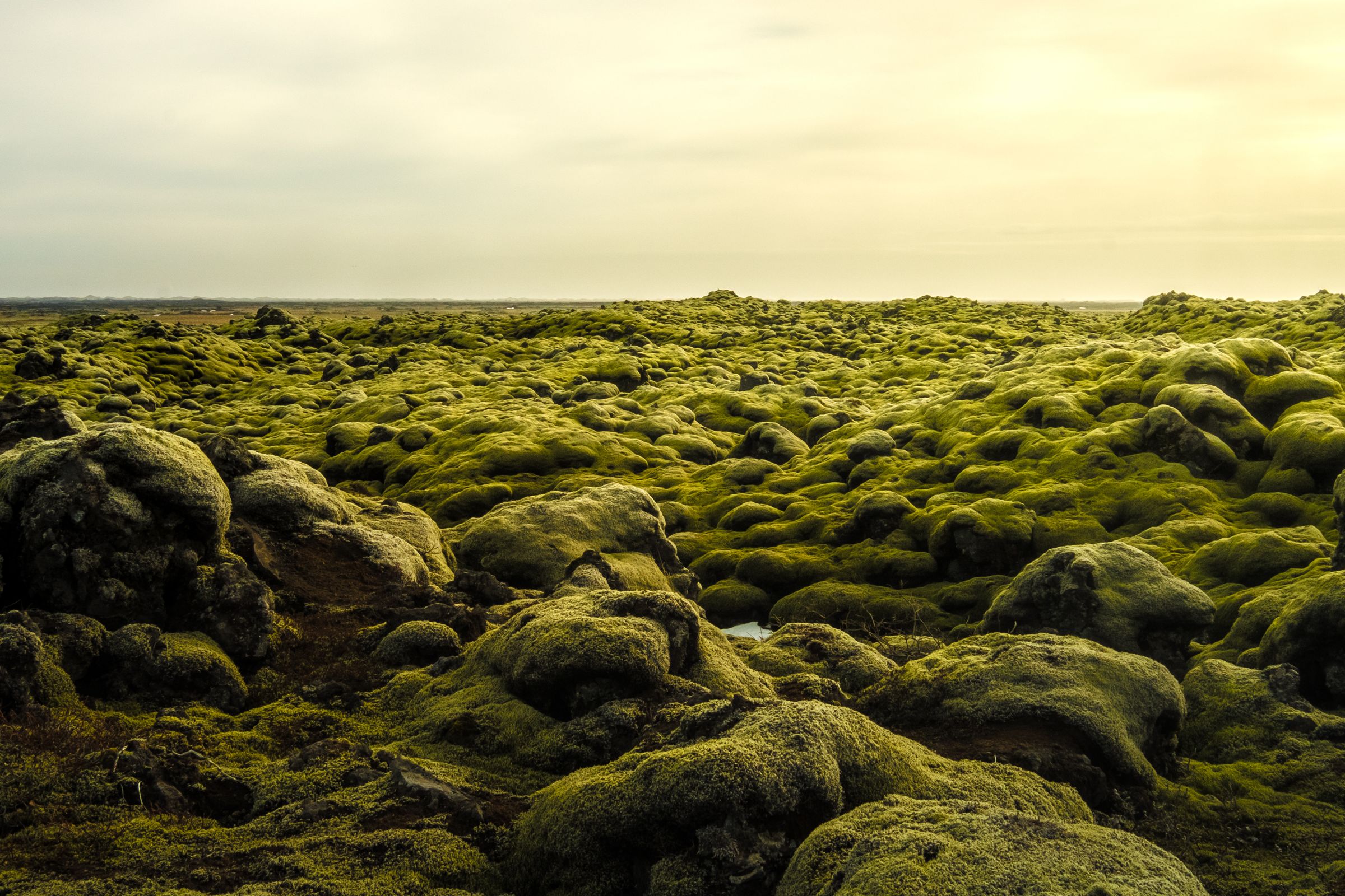
The huge moss-covered lava field that Route 1 cuts right through, west of Kirkjubæjarklaustur. It was created during the 1783 to 1784 Laki eruption, one of the most significant volcanic events in Icelandic recorded history. Don't walk off the marked areas since the moss takes decades to recover from foot traffic.
Skaftafell
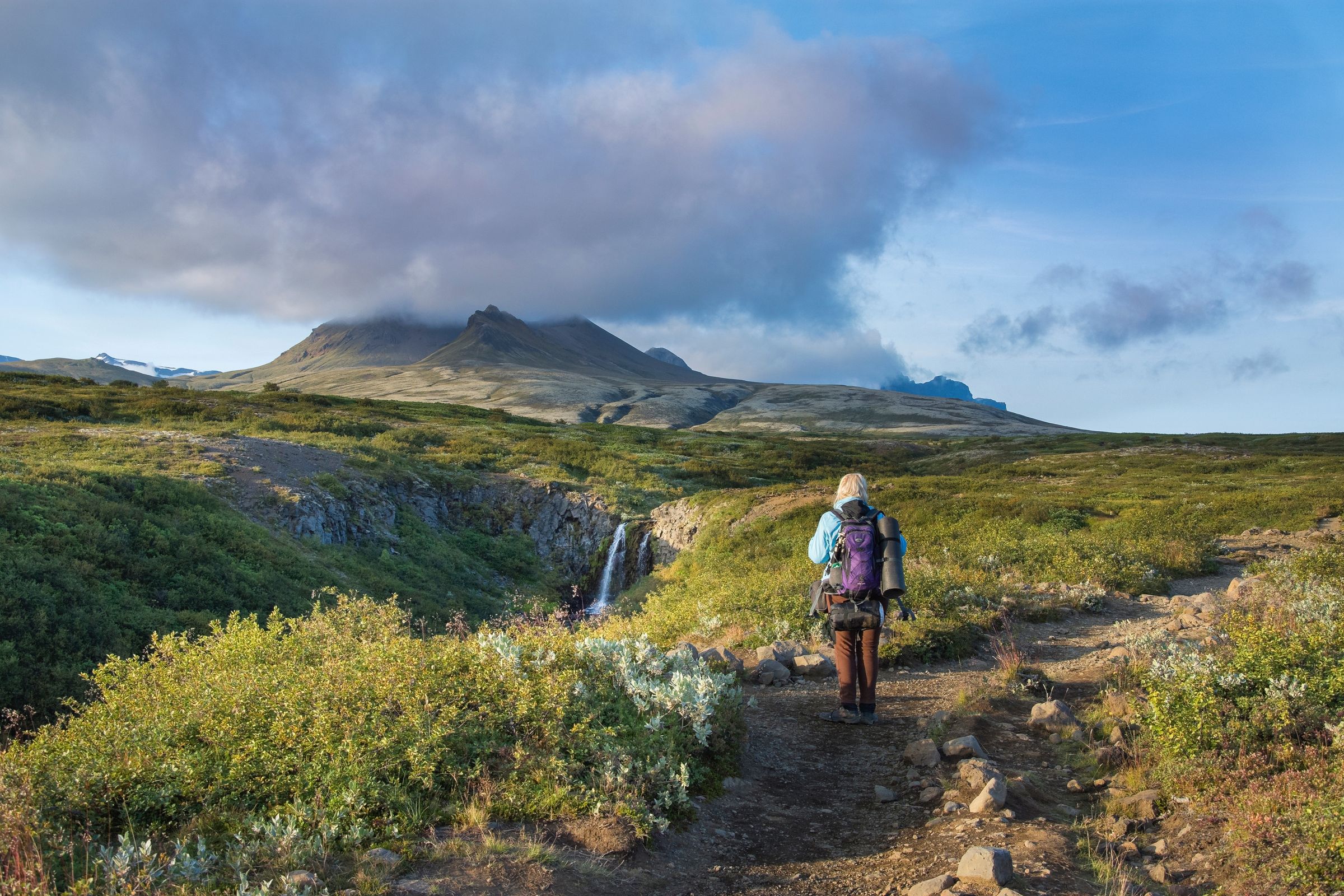
Part of Vatnajökull National Park and farther east along Route 1. Skaftafell has hiking trails leading to Svartifoss, glacier views, and a year-round visitor center. Give it a proper chunk of your day rather than treating it as another quick roadside stop.
Jökulsárlón and Diamond Beach
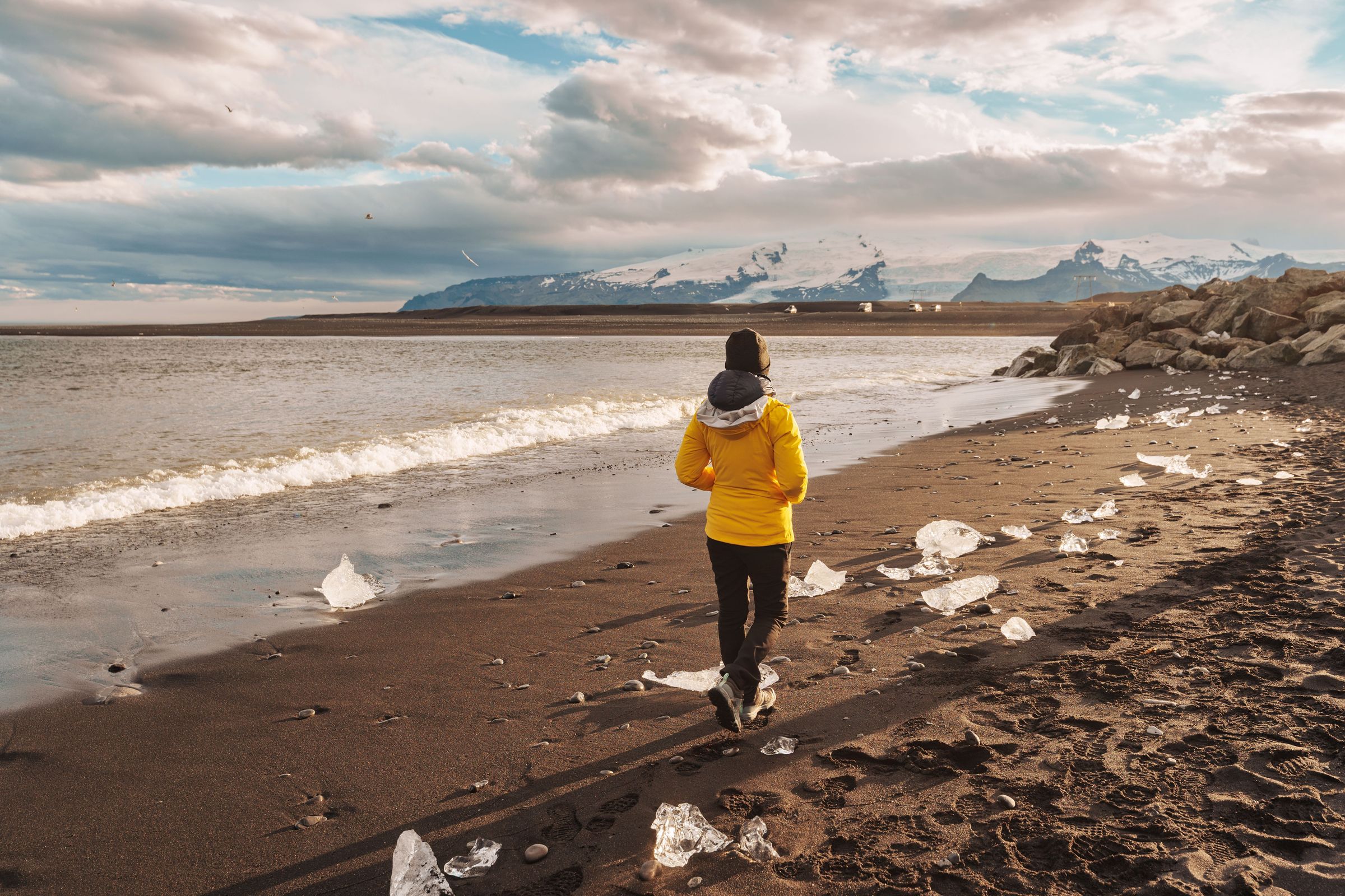
Even farther east, the glacial lagoon at Jökulsárlón is worth every bit of the drive. Icebergs break off Breiðamerkurjökull and drift through the lagoon, and some pieces wash up on the black-sand coast known as Diamond Beach. Give this one real time in your itinerary.

Practical Travel Tips and FAQs
Foss á Síðu is a pretty straightforward stop, but there are a few things worth knowing before you show up. Here are the most common questions people have:
Is Foss á Síðu worth stopping for?
Yes, if you're already driving Route 1. It takes 10 to 20 minutes, it's free, and it's on your route anyway. Combining it with Dverghamrar makes for one of the better short stops in this part of South Iceland. If you have to choose between this and Skaftafell or Jökulsárlón, go to those first. But if you're passing by, just stop.
How long should you spend there?
- Quick view and a few photos: 10 to 20 minutes
- Slower photography and watching for the wind effect: 20 to 40 minutes
- Combined with Dverghamrar: 45 to 60 minutes
- If a trail to Þórutjörn is confirmed open: allow extra time and check conditions on the day
Can you walk to the waterfall?
Probably not right up close, at least not via the old informal route. A local source updated in January 2026 says the approach across the farm has been closed because of visitor pressure. The roadside viewpoint is genuinely good though. The full cliff and farm actually read better from a distance anyway.
Is it free?
There’s no entrance fee. But free doesn't mean do whatever you want. Private property boundaries, drone regulations, and any on-site closures all still apply.
Is it suitable for children?
A short supervised stop works fine for most families. Keep kids away from the road, watch for strong gusts, and be mindful of uneven ground. Any longer walk toward Þórutjörn needs more careful assessment depending on conditions and the kids' ages.
Is it accessible?
You can see the waterfall without a long hike, which makes it more accessible than a lot of South Iceland attractions. That said, there's no purpose-built accessible viewing platform, and the ground near the stop can be uneven gravel or grass. Being visible from a distance isn't the same as being fully wheelchair accessible.
Is there parking and facilities?
Parking is limited. There's no large managed car park. Use safe, clearly permitted pull-offs only, or use the small car park at Dverghamrar nearby. There are no toilets, no café, and no visitor center at the waterfall. Sort all of that in Kirkjubæjarklaustur before or after.
What should I wear?
- A waterproof outer layer, since wind and spray happen even on decent days
- A warm mid-layer, even in summer
- Waterproof footwear with good grip
- A hat and gloves outside of the warmest summer days
What's the emergency number in Iceland?
112. I'd also recommend downloading the SafeTravel app run by the Icelandic Association for Search and Rescue before your trip. It lets you share your location and check conditions, and it's useful for any Iceland road trip, not just this stop.
Check road.is and the Icelandic Met Office before you leave Kirkjubæjarklaustur. Conditions can change fast in this part of South Iceland, and what's calm in the village can be rough just 10 km east.
Conclusion
Foss á Síðu is a short stop that's better than it looks on paper. A small stream from Lake Þórutjörn drops off an old palagonite sea cliff, the wind does unpredictable things to the water, and a farm that's been here since Iceland's Settlement Age sits in the foreground. None of that sounds dramatic, but it adds up to something genuinely worth pausing for.
The best approach is to pair it with Dverghamrar right next door, give yourself about an hour for both, and treat the whole thing as one of the more interesting stops on this part of the Ring Road. Go in with honest expectations and it won't disappoint.
