

Hjörleifshöfði, Iceland: Complete Travel Guide
Most people stop here for five minutes to photograph Yoda Cave and drive off. That's a shame, because Hjörleifshöfði is one of the most interesting stops on Iceland's entire South Coast. Volcanic geology, a 1,150-year-old Norse murder story, and a Star Wars filming location all come together in one spot, in the middle of a huge black-sand plain.
Key Takeaways
- Hjörleifshöfði is a volcanic headland about 15 to 20 minutes east of Vík. It’s best known for Yoda Cave, the black-sand landscape, and its link to Iceland’s early settlers.
- The cave is easy to visit. It’s only a short walk from the parking area, and most people spend around 30 to 45 minutes there.
- The summit hike is a bigger commitment. The full route is around 6 to 8 km and usually takes 2.5 to 4 hours, especially if it’s windy or foggy.
- There are no toilets, food, or other facilities. Bring what you need and stop in Vík for fuel, food, and bathrooms.
- It fits well into a South Coast road trip. You can easily combine it with Vík, Reynisfjara, Dyrhólaey, or Sólheimajökull.
What Is Hjörleifshöfði?
Hjörleifshöfði (pronounced roughly "HYUR-layfs-huv-thee") is a 221-meter volcanic headland sitting in the black sands of Mýrdalssandur on Iceland's South Coast, about 15 to 20 kilometers east of Vík í Mýrdal. It's part of the Katla UNESCO Global Geopark, and it looks totally out of place in the best way. A steep, green-topped mountain standing alone on a flat black plain, with nothing else around it for miles.
The name means "Hjörleifur's headland," after Hjörleifur Hróðmarsson, one of Iceland's earliest Norse settlers. That history, combined with the unusual geology and the cave everyone calls Yoda Cave, makes this one of the more interesting stops on any Iceland road trip.
Why It's Worth Visiting
This isn't just a viewpoint or a photo stop. You get three very different things in one place: a mountain formed by volcanic eruptions under ancient ice, a direct connection to Iceland's founding settlement story, and a cave that photographers travel from across the world to shoot. It's also much less crowded than Reynisfjara or Dyrhólaey.
Who It's Best Suited For
It works for a lot of different travelers, but it's especially good for:
- Hikers who want a quieter South Coast option away from the busiest spots
- Photographers looking for great shots on the black-sand plains
- History and geology enthusiasts
- Star Wars fans: the surrounding Mýrdalssandur landscape was used in Rogue One: A Star Wars Story to represent the planet Lah'mu
- Anyone doing a self-drive Ring Road trip with some flexibility in their schedule

Hjörleifshöfði at a Glance
Here's what you need to know before you go.
- Location: Southwestern Mýrdalssandur, 15 to 20 km east of Vík í Mýrdal, South Iceland
- Height: About 221 meters
- Best for: Photography, hiking, geology, and Viking settlement history
- Recommended visit length: 30 to 45 minutes for the cave only; 3 to 4 hours for the full hike
- Best season: June through August for easiest hiking; spring and autumn for fewer crowds and more interesting light
- Facilities: Very limited. No toilets, no food, no visitor center. Sort all of that out in Vík before you arrive.
- Geopark: Katla UNESCO Global Geopark
There are no facilities at Hjörleifshöfði. Stop in Vík for toilets and food before heading out.
How to Get to Hjörleifshöfði
Getting here is pretty straightforward. It sits right beside Iceland's Route 1 (the Ring Road) east of Vík, so you don't need to plan a big detour.
Driving from Vík
From Vík, it's about 15 to 20 minutes east on Route 1. The mountain is hard to miss since it rises up out of the flat black plain like nothing else around it. Look for the signed turnoff onto an unpaved access road that leads toward the cave and parking area.
Access Road Conditions
The final stretch is unpaved gravel. In dry summer conditions, most standard 2WD rental cars handle it fine. After heavy rain, in winter, or when the road has developed deep ruts, it gets rougher.
Do You Need a 4×4?
Not always, but it really depends on the day. Personally, I'd check road conditions before leaving Vík rather than assuming it'll be fine. What works easily in July might not work in October.
Parking
There's a basic parking area near the cave. Don't trust old blog posts that say it's free, because that can change. The parking costs 1000 ISK, paid via the Easy Park app.
Winter Access
The cave might still be reachable when roads are passable, but the full summit hike is a different story in winter. Snow, ice, and short daylight hours can make the upper trails genuinely risky.

Top Things to Do
There's more here than most visitors realize. Here's what's actually worth your time.
Visit Gígjagjá (Yoda Cave)
The cave at the base of the headland, officially called Gígjagjá, is what most people come for. It's a short walk from the parking area and worth a stop even if you're skipping the hike entirely.

Hike to the Summit
The full circuit gives you wide views over Mýrdalssandur, the North Atlantic Ocean, the Katla region, and Mýrdalsjökull glacier. It's a much better experience than just seeing the cave, and there are far fewer people once you get up top.

See Hjörleifshaugur
Up on the headland sits Hjörleifshaugur, the burial mound that tradition says is the grave of Hjörleifur Hróðmarsson, one of Iceland's earliest settlers. It's a protected archaeological site, so look but don't touch anything.

Photograph the Black-Sand Landscape
The contrast between the green upper slopes and the huge dark expanse of Mýrdalssandur makes for some of the most distinctive photos on the South Coast. If I were you, I'd leave some time to walk around the base and take it in from a few different angles, rather than just grabbing one shot and leaving.

Explore Viewpoints over Mýrdalssandur and the Coast
From up top, you can see exactly how Katla's repeated glacial floods have shaped everything around you. The braided river channels cutting through the black-sand plain below, and the sheer size of Mýrdalssandur, are something else when you're looking down at them.

Yoda Cave Visitor Guide
Gígjagjá is the cave's real Icelandic name. "Yoda Cave" is just the nickname everyone uses, and once you're inside looking out, it's easy to see why.
Why It's Called Yoda Cave
When you stand inside the cave and look toward the entrance, the rock opening creates a shape that looks a lot like Yoda's head. Two upper projections that look like pointed ears, a band of rock in the middle, and two larger openings below. It doesn't look the same from every spot inside: the angle, the framing, and the light all matter. But from the right position, it really does look like him.
One thing worth clearing up: this cave was not a filming location for Yoda in Star Wars. The surrounding Mýrdalssandur landscape was used in Rogue One to represent the planet Lah'mu. The cave just happens to look like the character, and that's where the nickname comes from.
Where to Find the Famous Photo Angle
Go inside the cave and turn back toward the entrance. Walk far enough in that the whole opening fits in your frame. A wide-angle lens or your phone in wide mode works best. To get the clearest Yoda shape, set your exposure for the bright sky outside rather than the dark rock around you.
Walking Difficulty and Visit Duration
It's a short, flat walk from the parking area to the cave. Give yourself 20 to 45 minutes so you have enough time to get the shot right without feeling rushed.
Best Light and Photography Conditions
Midday sun is actually the trickiest time to shoot here. The gap between the dark interior and the bright entrance can blow out your highlights. Overcast weather works really well because the light is more even. Morning visits also tend to have fewer people around, which helps a lot.

Hiking Hjörleifshöfði
The summit hike is what separates a 5-minute photo stop from a proper South Iceland experience. It takes more time, but it's a totally different visit.
Main Route Options
There's no single marked trail. Most people take one of two approaches, or combine them into a loop:
- Bæjarstaður route: Starts near the historic farm area. It's more gradual and passes through the cultural landscape with old farm ruins along the way. Good for anyone interested in the history side of things.
- Klif route: A steeper, more direct climb through a pass on the headland. Works well for completing a loop back down.
Distance, Duration, and Elevation Gain
Rough figures to plan around:
- Distance: 6 to 8 km for the full circuit
- Elevation gain: Roughly 250 to 400 meters depending on the route
- Duration: 2.5 to 4 hours
- Difficulty: Moderate in good weather; harder in wind, rain, or fog
These are planning estimates, not official published figures. Route variations exist, and different GPS tracks give different numbers.
Best Viewpoints
The upper plateau gives you a full panorama: Mýrdalssandur far below, the Atlantic coastline to the south, Mýrdalsjökull and the Katla region to the north, and distant South Coast mountains on a clear day. This view is the strongest reason to do the full hike instead of just the cave.
What to Wear and Carry
Even in summer, it can get cold and windy up there. Come prepared:
- Waterproof and windproof outer layers
- Sturdy hiking shoes with good grip; wet grass gets slippery fast
- Water and snacks
- Hat and gloves outside the warmest months
- A downloaded offline map
- Fully charged phone
Wind, Fog, and Cliff Safety
Because Hjörleifshöfði rises alone from a flat plain, wind hits it with nothing to slow it down. It can feel totally fine at the parking area while the summit is getting hit hard. Fog is another issue since paths get harder to follow and cliff edges harder to judge when visibility drops.
If it's hard to walk steadily at the base, skip the upper hike. The cave is still worth a visit. The summit is not worth taking risks for.
Practical Travel Tips
A few things that'll make the visit go more smoothly.
Best Time of Day
Early morning is the best bet: fewer people at the cave, better light for photos, and usually lower wind. If you're doing the full hike, starting early also gives you extra time in case the weather turns or things take longer than expected.
Weather and Road Checks
Before leaving Vík, check the Icelandic Met Office forecast and the Icelandic Road and Coastal Administration for current road conditions. South Coast weather can change fast.
Toilets, Food, and Nearby Services
There's nothing at the site. Vík is your stop for fuel, food, toilets, and anything else you need before or after your visit.
Entrance Fees and Parking Charges
Read the signs when you arrive. Payment instructions may be posted on-site, and the situation can change faster than travel websites get updated.
Camping and Drone Rules
Don't assume the parking area is a campsite. If you need to sleep nearby, use an established campground in or around Vík. For drones, check current Icelandic aviation rules and local signage, and confirm whether you need landowner permission before flying. Stay well away from nesting birds too.
Leave No Trace
- Stick to established walking paths
- Don't drive on the black sand
- Leave the burial mound and farm ruins exactly as you find them
- Don't add stones or cairns to the mound
- Pack out everything you bring in
- Give nesting birds plenty of space
Iceland's volcanic surfaces and thin soils are fragile. Tire tracks and trampled moss can take years to recover, and off-road driving is illegal.

History and Geology
This is where Hjörleifshöfði gets really interesting, even if history and geology aren't usually your thing.
Hjörleifur Hróðmarsson and the Settlement Story
The headland is named after Hjörleifur Hróðmarsson, traditionally described as the foster brother and traveling companion of Ingólfur Arnarson. Ingólfur is the settler that Icelandic tradition credits as Reykjavík's first permanent Norse settler.
What Landnámabók Says
According to Landnámabók, the medieval Icelandic Book of Settlements:
- Hjörleifur set up a farm near the headland around the late 9th century.
- He was later killed by enslaved Gaelic men in his household.
- They fled offshore by sea after killing him.
- Ingólfur tracked them down and killed them on islands that became known as Vestmannaeyjar, or the Westman Islands.
Worth Knowing
It's a gripping story, but it's worth knowing what it is: a medieval account written down centuries after the events it describes, not a firsthand record. The broad settlement history is real and well-established. The specific details are tradition rather than confirmed historical fact.
Hjörleifshaugur: The Burial Mound
A mound near the top of the headland is traditionally identified as Hjörleifur's grave. It's an important cultural site, but the identification comes from settlement tradition rather than modern archaeological work. There's no excavation that confirms it. It's best understood as the mound that tradition says is his burial place, not a proven fact.
Icelandic archaeological remains more than 100 years old are automatically protected by law. Don't walk on the mound, move stones, or add cairns. The best way to respect it is to look without changing anything.
Geological Formation: A Volcano Born Beneath Ice
Hjörleifshöfði is what geologists call a tuya, known in Icelandic as a móbergsstapi. It formed during a volcanic eruption beneath a glacier during the Ice Age. When hot magma erupts under thick ice, it melts the surrounding glacier. The lava cools so fast on contact with the meltwater that it basically shatters into volcanic glass. That broken material, called hyaloclastite, hardens over time and creates the steep-sided, flat-topped shape you see today.
The mountain was probably once a coastal island or promontory. Over centuries, repeated glacial outburst floods from the Katla volcano, called jökulhlaups, carried huge amounts of volcanic sediment onto Mýrdalssandur and slowly filled in the coastal waters around the headland. What was once sea is now black sand.
Katla's Role in Shaping the Landscape
Katla sits beneath Mýrdalsjökull glacier to the north and is one of Iceland's most powerful volcanic systems. The 1918 Katla eruption alone produced a flood so large it built out a coastal spit called Kötlutangi enough to temporarily make it the southernmost point of mainland Iceland. The whole area sits within the Katla UNESCO Global Geopark because volcanism, glacial movement, and coastal change have all worked together to shape this part of the South Coast over time.
Nearby Attractions and Suggested Itinerary
Hjörleifshöfði fits naturally into the South Coast between Vík and the landscapes farther east.
The Closest Attractions
- Vík í Mýrdal: The nearest town, about 15 to 20 minutes west. Your base for fuel, food, accommodation, and Katla ice cave tours.
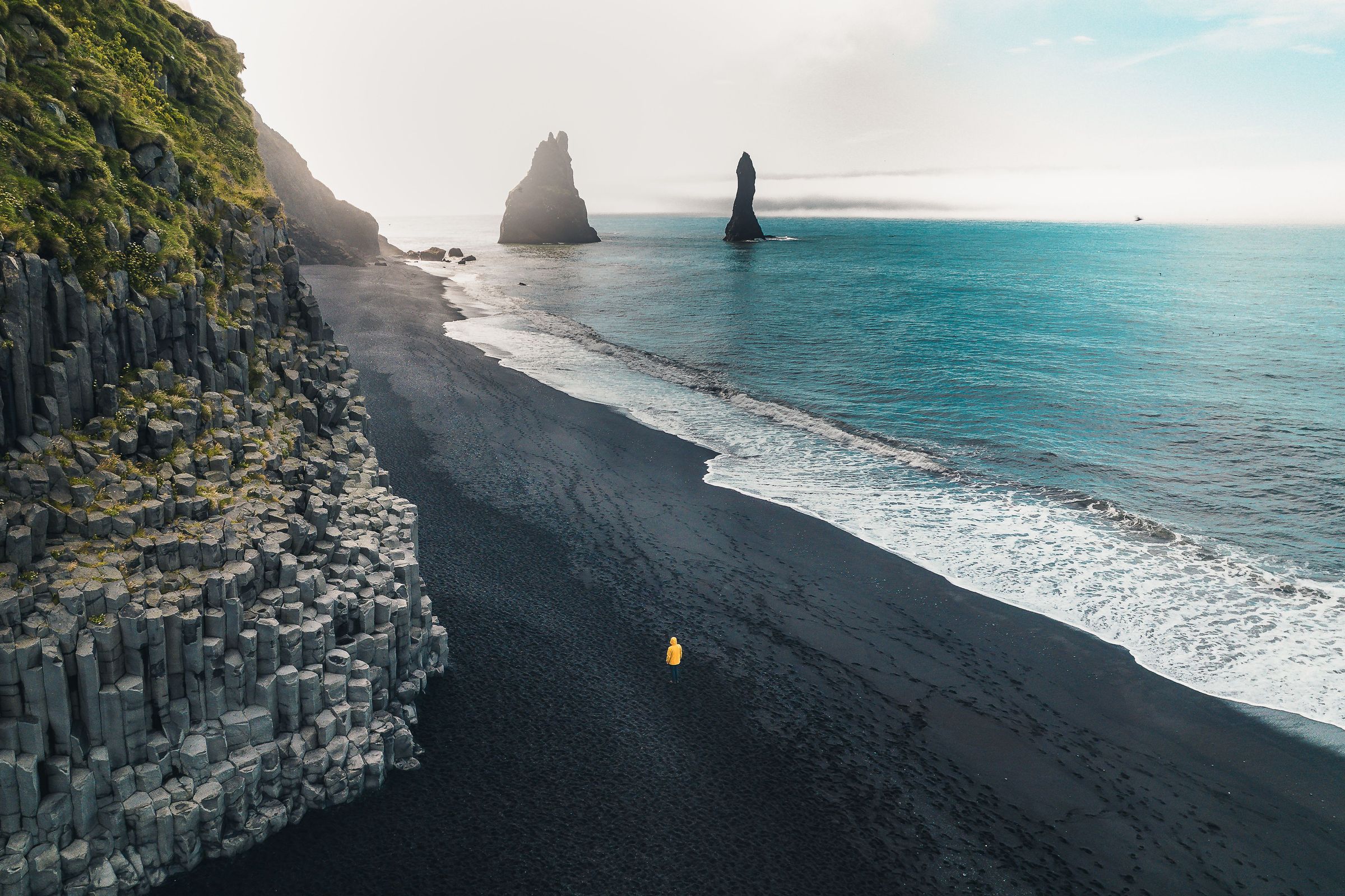
- Reynisfjara: Iceland's most well-known black-sand beach, with basalt columns and sea stacks just offshore. Important note: sneaker waves here are a serious and real danger.
- Reynisdrangar: The sea stacks just offshore from the Vík and Reynisfjara coastline.
- Dyrhólaey: A coastal promontory with a natural arch and some of the best seasonal puffin viewing on the South Coast.
- Sólheimajökull: An outlet glacier of Mýrdalsjökull where you can book guided glacier hikes.
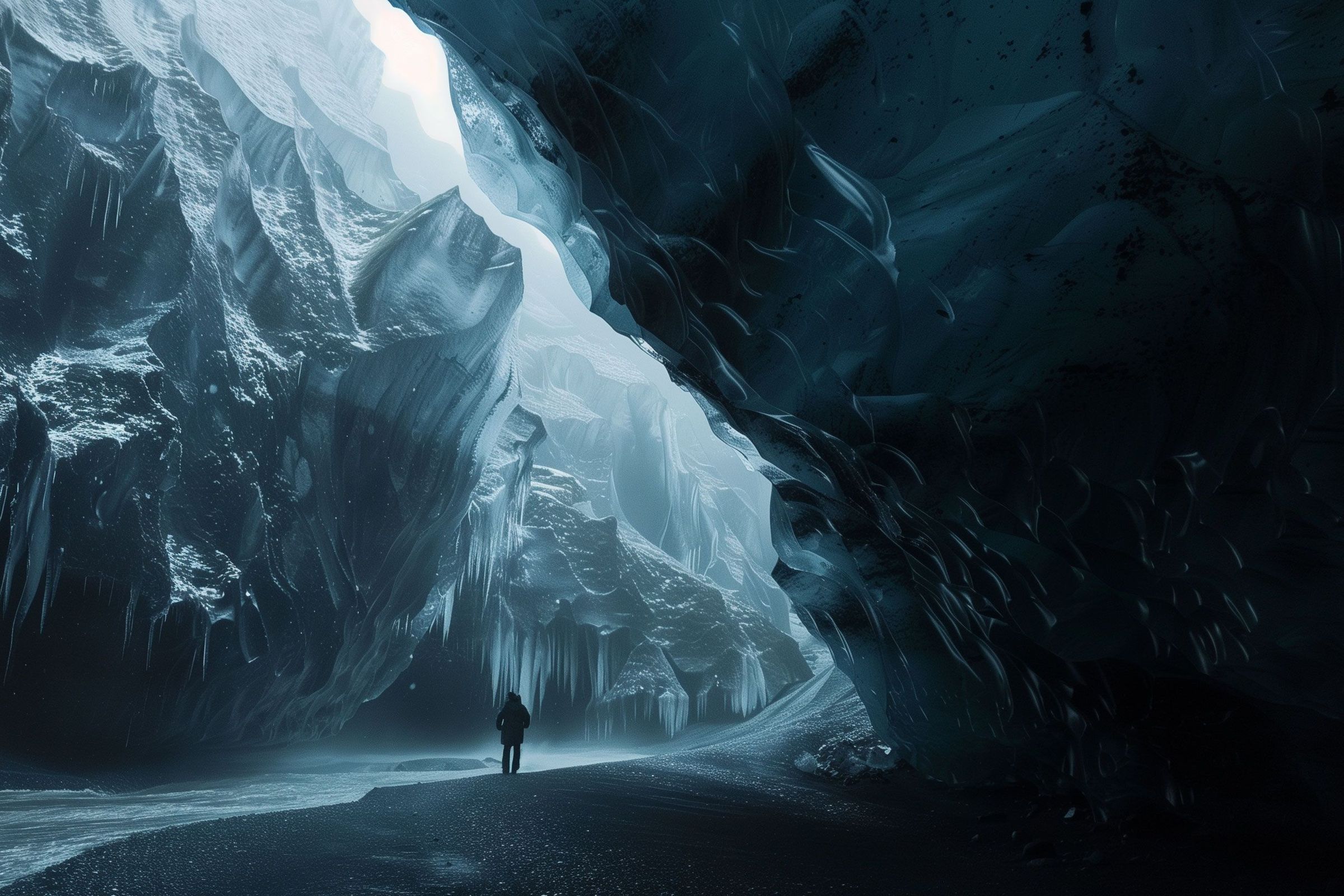
- Katla ice caves: Guided tours from Vík into the Katla glacier system.


Conclusion
Hjörleifshöfði deserves more time than most visitors give it. If you're driving the South Coast, the cave alone is a short and worthwhile stop. If you have the time and the weather is good, the summit circuit is one of the quieter and more rewarding hikes in the area.
A few things to keep in mind: check weather and road conditions before you leave, bring everything you need because there's nothing on-site, and leave the archaeological remains on the upper slopes exactly as you find them.
For geology, early Icelandic history, and dramatic black-sand scenery all in one place, it's a really good stop.
FAQs About Hjörleifshöfði
